Mangrove Wetland Channels Nature Top Down Aerial Map
Use mangrove wetland channels nature top down aerial map to capture green mangrove crowns, winding water paths, and muddy tidal flats in braided mangrove wetland channels seen from above, with even midday light that reveals the channel geometry and realistic environmental texture.
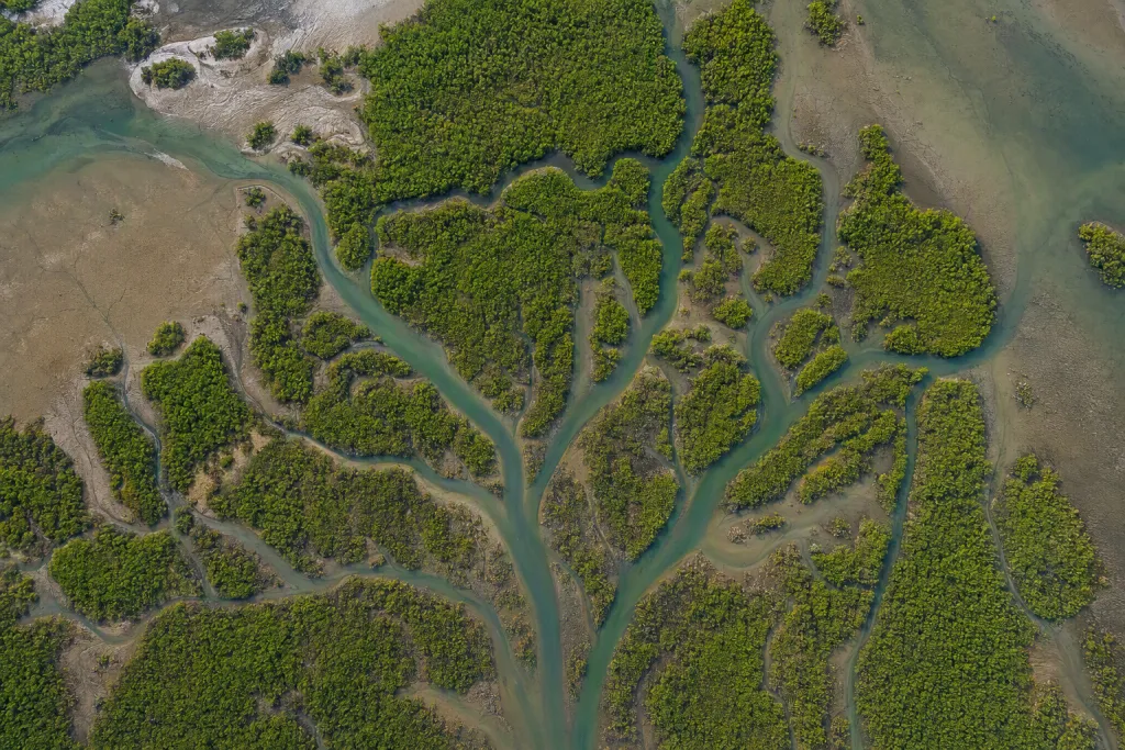
Build mangrove wetland channels nature top down aerial map like a refined nature reference image. Build the visual around green mangrove crowns, winding water paths, and muddy tidal flats and make braided mangrove wetland channels seen from above feel specific, not generic. Emphasize branching creek shapes in the hero area, support it with textured root edges and subtle color shifts in shallow water, and keep the composition readable: use a direct overhead angle and let the waterways form an organic map pattern. Finish with mangrove green and tidal brown tones, believable contrast, and ecological, graphic, and intricate atmosphere. Keep the scene physically plausible with natural proportions, accurate habitat details, and no visible watermark.
Try now