Storm Response Map Disaster Emergency Illustration
Imagine the following visual world with disaster response illustration for public safety and emergency education.
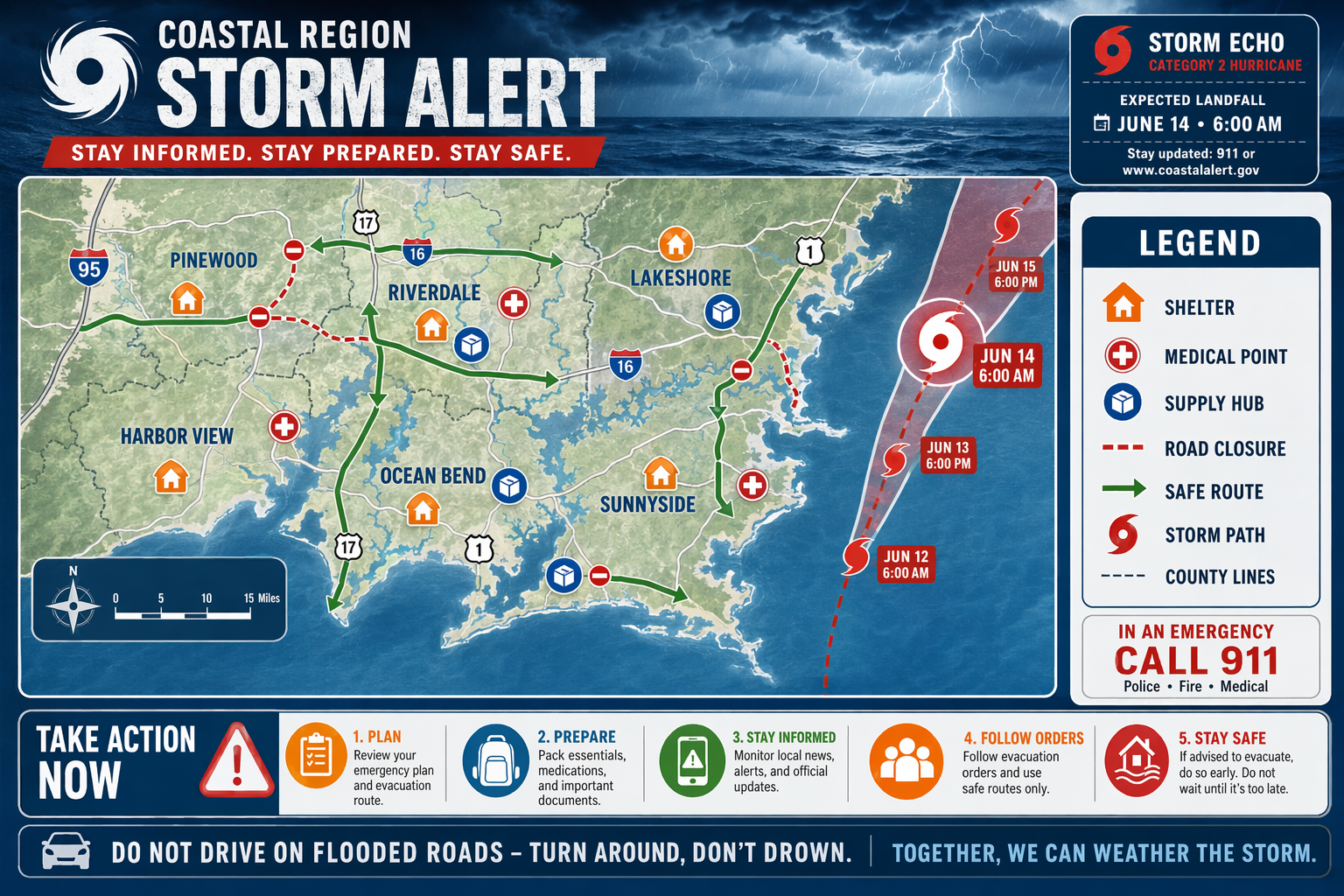
Imagine the following visual world: An illustrated regional map shows storm path, shelters, road closures, medical points, supply hubs, and safe routes with clear labels. Balance the frame from left to right: place the map across the center, legend on the right, and key instructions along the bottom. Palette, contrast, and light: Storm blue, safety orange, white, and red. Use a cohesive illustration language, confident shape design, controlled texture, clear storytelling, and a polished editorial finish. Material and style direction: Use accurate information design, accessible symbols, and calm emergency communication. Keep perspective, characters, objects, and story logic consistent; avoid copied characters, accidental text, and overcrowding.
Try nowSimilar prompts