Urban Heatmap Abstract Poster Satellite Color Bands
Frame urban heatmap abstract poster satellite color bands as aerial thermal mapping abstract art for city planning poster, mobility report, and smart-city dashboard art, using satellite grain, tiny grid artifacts, and softened urban edges and strong visual depth.
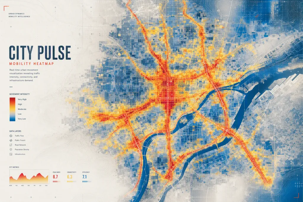
Build urban heatmap abstract poster satellite color bands from dense bands of color suggesting traffic, buildings, and movement from above. Start with a strong silhouette or pattern based on dense bands of color suggesting traffic, buildings, and movement from above, then refine it with map-like layering with pixel-soft transitions and contour blocks. Use thermal red, electric yellow, asphalt gray, and deep blue as the primary palette and introduce satellite grain, tiny grid artifacts, and softened urban edges in close details. The lighting should read as even analytical brightness with hot spots of intense color, giving the abstraction a believable sense of space. Make sure the image can support urban reports, civic visuals, and analytical abstract posters: leave usable negative space, avoid overfilled corners, and keep contrast controlled. The finished prompt should create a active, urban, and data-rich image that feels specific, visually rich, and flexible across city planning poster, mobility report, and smart-city dashboard art.
Try nowSimilar prompts



More Image Prompts
Frequency Pearl Abstract Banner Iridescent Wave Interference
Sunset Graphite Presentation Title Smoky Pencil Gradient
Cloud Fossil Abstract Pattern Weathered Sediment Imprint
Horizon Glass Brand System Transparent Layered Planes
Velvet Calculus Data Art Flowing Equation Ribbons