Forestry Carbon Project Analytics Platform Sequestration Map
The image opens with forestry carbon project analytics platform sequestration map centered on forest carbon credit monitoring, supported by forest parcels, carbon estimates, and accessible UI details.
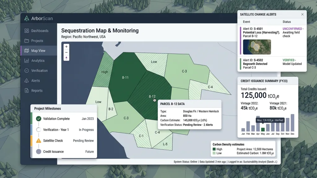
The image opens on forestry carbon project analytics platform sequestration map, staged as a believable interface used during forest carbon credit monitoring. Show forest parcels, carbon estimates, verification status, satellite change alerts, project milestones, and credit issuance summary. Include forest parcels, carbon estimates, verification status, satellite alerts, and credit summary while keeping the product useful for sustainability analysts. Give the screen believable labels, real microcopy, clear empty and loading states, and accessible contrast. Use spacing, grouping, and interaction cues that make the interface feel ready for a real product team, not just a decorative mockup. Make the workflow feel complete by showing status changes, confirmations, warnings, and helper text in the right moments.
立即尝试